Log in
All resources
Create a design
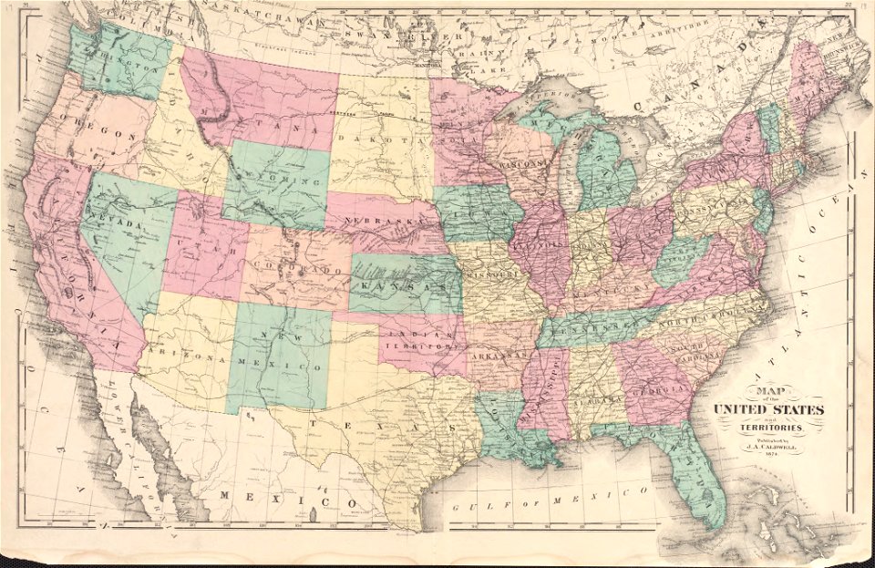
32,720 Free Images of Maps Indicating Exploration
maps in the library of congress
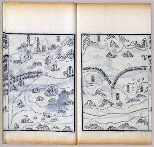
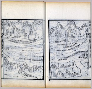
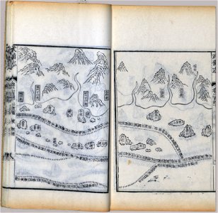
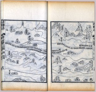
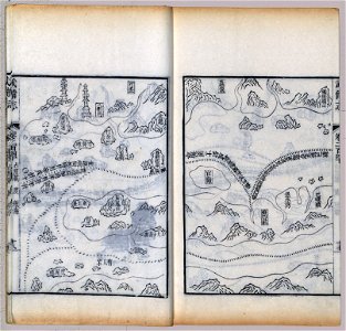
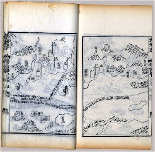
mao kun map
wubei zhi
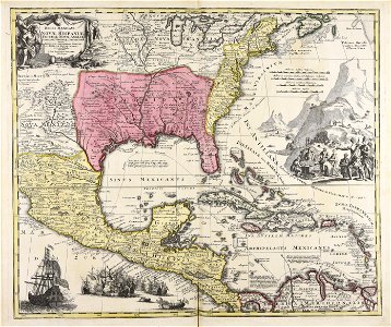
maps made in the 18th century
gerard valck
atlantis magni tomus primus (biblioteca comunale di trento)
pieter schenk (i)
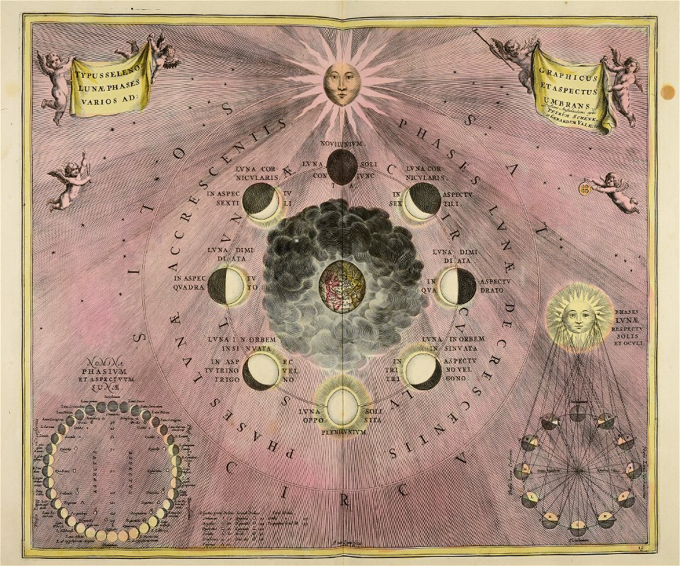
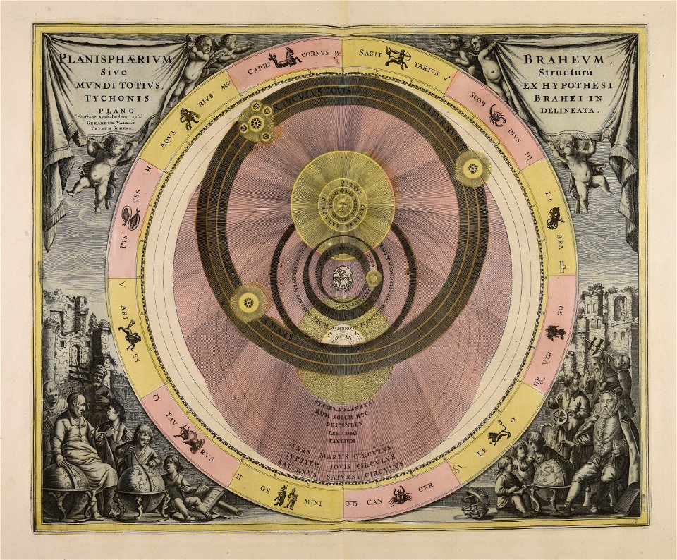
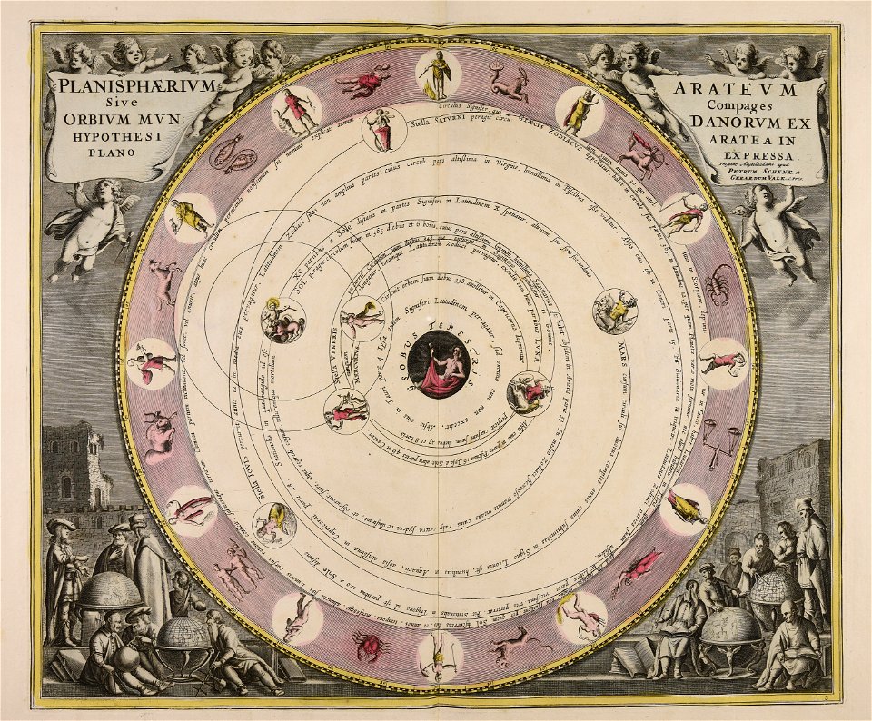
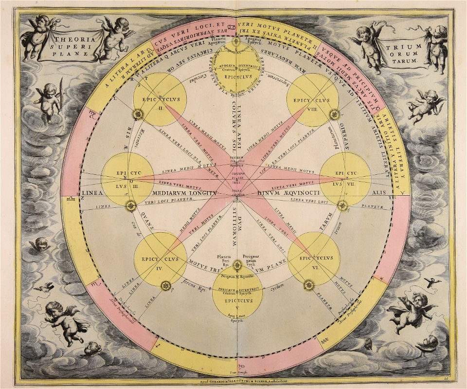
old celestial maps
cellarius harmonia macrocosmica
jan van loon
maps in the library of congress
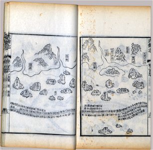
mao kun map
maps in the library of congress
mao kun map
maps in the library of congress
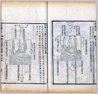
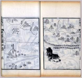
mao kun map
maps in the library of congress
mao kun map
maps in the library of congress
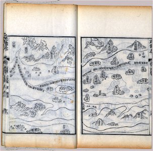
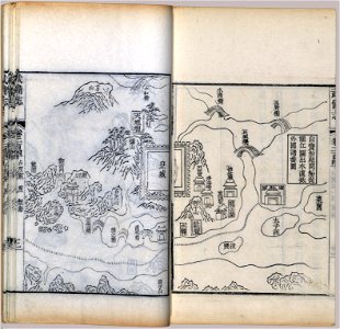
mao kun map
maps in the library of congress
mao kun map
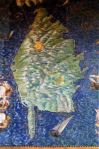
corsica (galleria delle carte geografiche)
old maps of corsica
maps in the library of congress
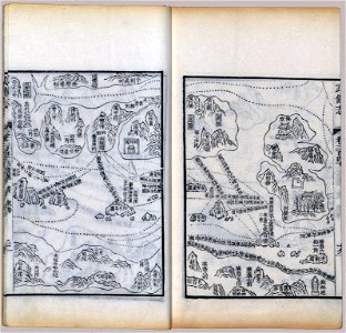
mao kun map
maps in the library of congress
mao kun map
maps in the library of congress
mao kun map
maps in the library of congress
mao kun map
maps in the library of congress
mao kun map
maps in the library of congress
mao kun map
maps in the library of congress
mao kun map
maps in the library of congress
mao kun map
maps in the library of congress
mao kun map
maps in the library of congress
mao kun map
maps in the library of congress
mao kun map
maps in the library of congress
mao kun map
maps in the library of congress
mao kun map
maps in the library of congress
mao kun map
maps in the library of congress
mao kun map
maps in the library of congress
mao kun map
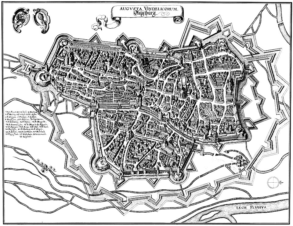
engravings by matthäus merian
1640s maps of augsburg
provided by landsbókasafn íslands
philips galle
old maps of pomeroon
johannes van keulen
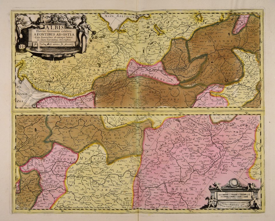
ducatus sleswicum sive justia australis
germany
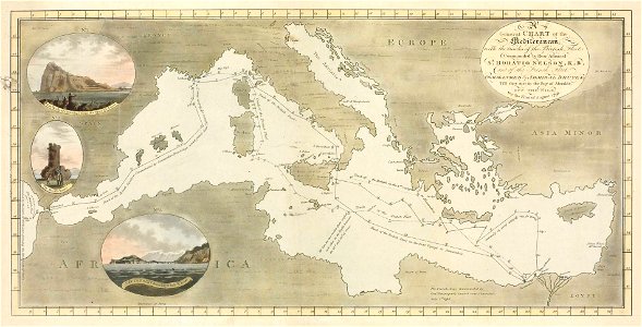
old maps of the indian ocean
robert surcouf
old maps of the indian ocean
robert surcouf
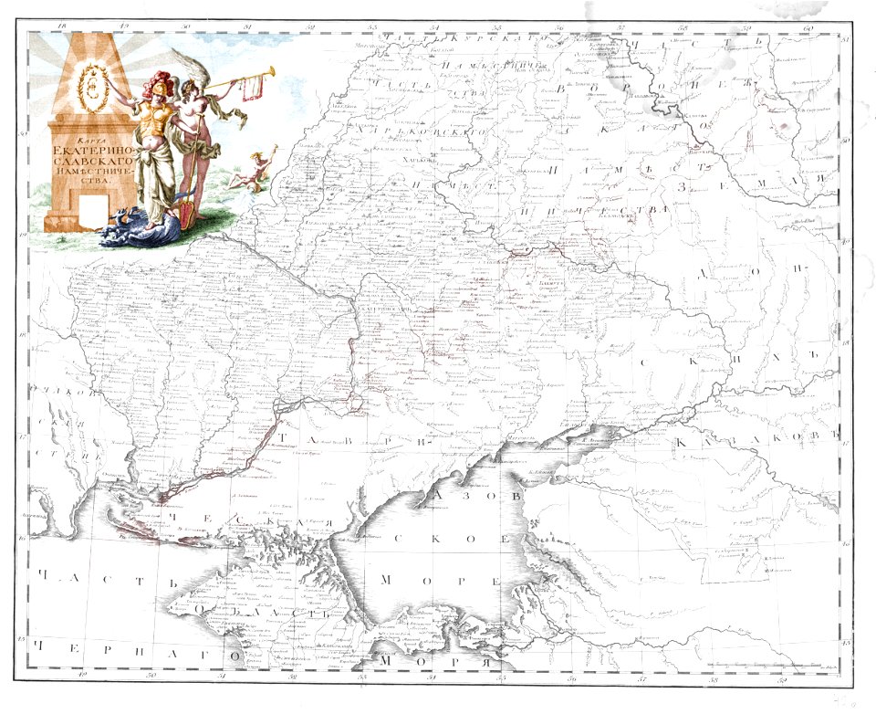
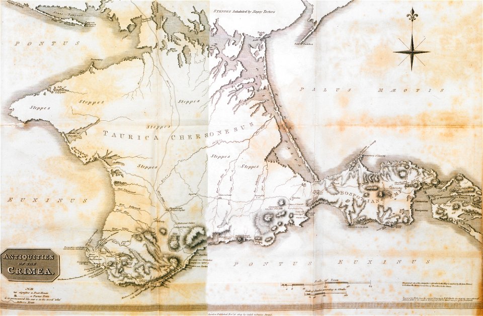
old maps of yekaterinoslav governorate
atlas of the russian empire (1792)
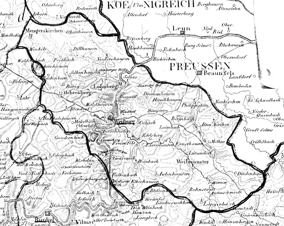
map „das herzogthum nassau“ by j.b. fischer
1828
francesco piranesi
old maps of lazio
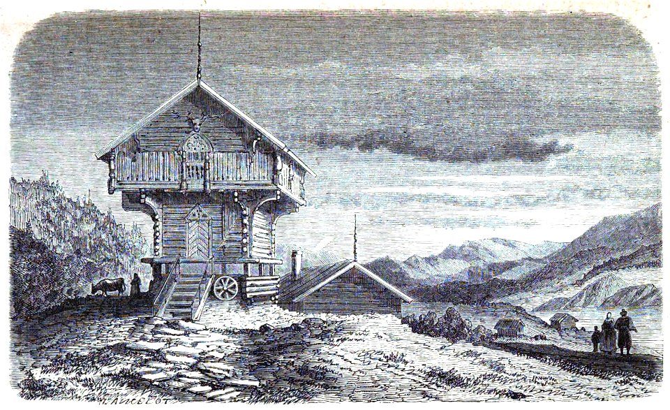
volume 9 of le tour du monde
1860s maps of africa
volcanic rock
isle of mull
lithographs of paris
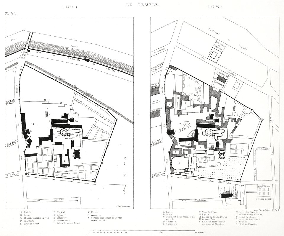
floor plans of paris
prints in the royal collection of the united kingdom
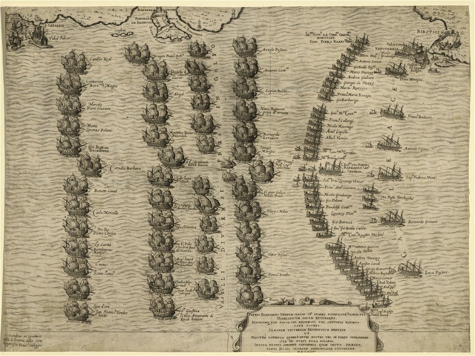
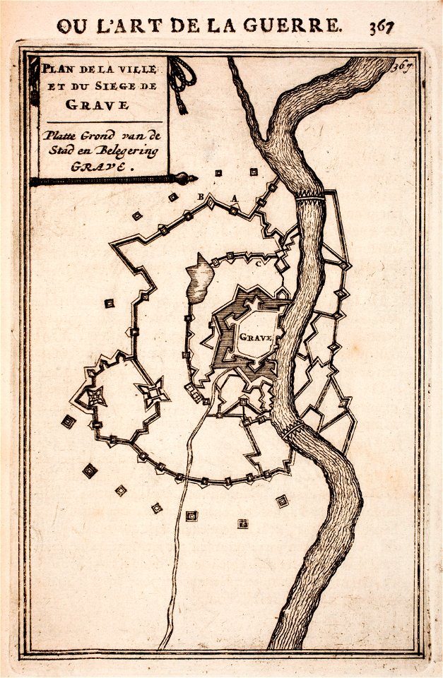
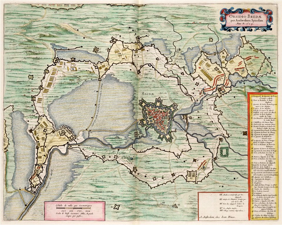
maps of battles of the thirty years' war
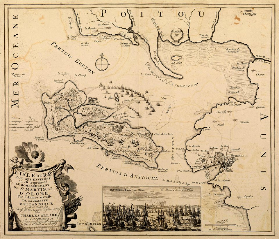
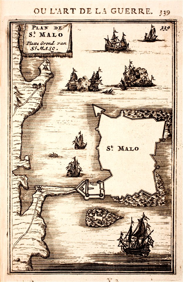
sainte-marie-de-ré
bombardment
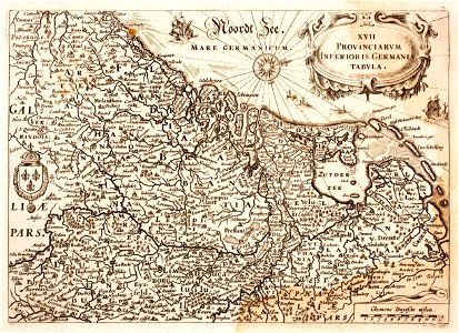
netherlands
the hague
scanned french books in pdf
bamble
printing
london
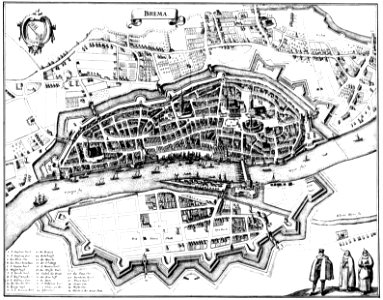
bremen in topographia saxoniae inferioris (merian)
engravings by matthäus merian
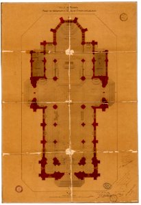
plans of churches in france
1875 maps
plans of churches in france
1873 in bretagne
scotland in the early modern period
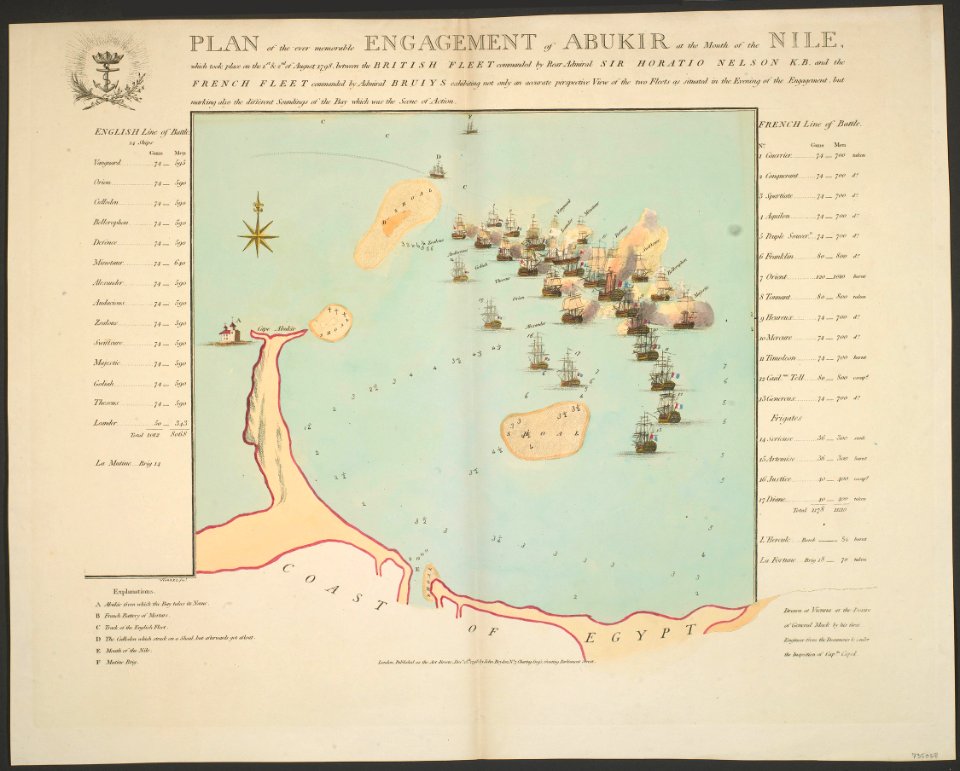
maps of battles
british battles on land and sea
1873 drawings
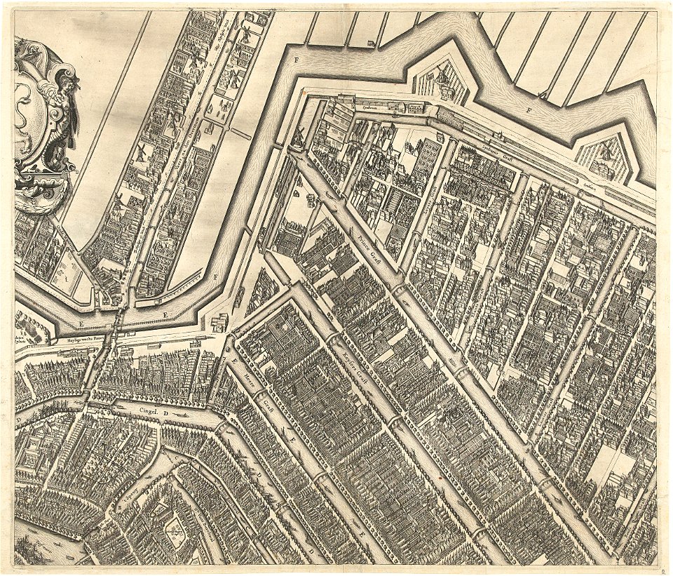
prinsengracht
amsterdam
maps made in the 17th century
gerard valck
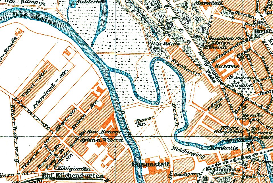
1888 in hannover
ihme
17th-century maps of maastricht
maps of the franco-dutch war
1696 in bretagne
1696 maps
conflicts in 1672
netherlands
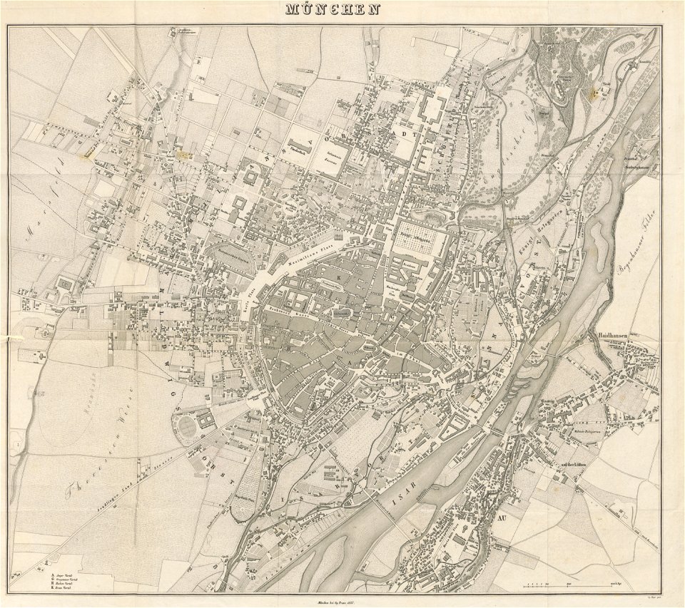
munich in the 19th century
old city maps of munich
gerard valck
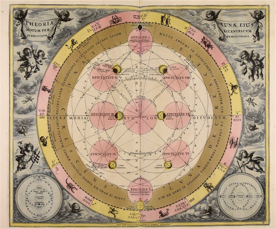
moon
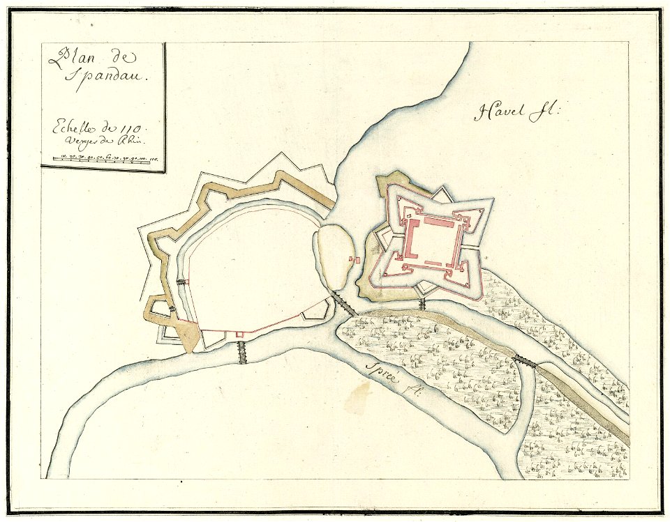
city walls of berlin-spandau
moll's map collection
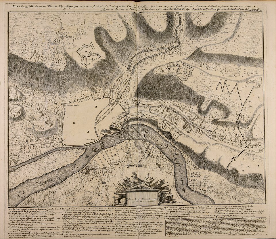
maps made in the 18th century
1705
maps made in the 18th century
gerard valck
maps made in the 18th century
gerard valck
maps made in the 18th century
johann baptist homann
historical images of solothurn
solothurn
gerard valck
moon
maps made in the 18th century
gerard valck
university of toronto wenceslas hollar digital collection
staffordshire
gerard valck
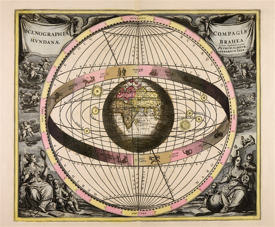
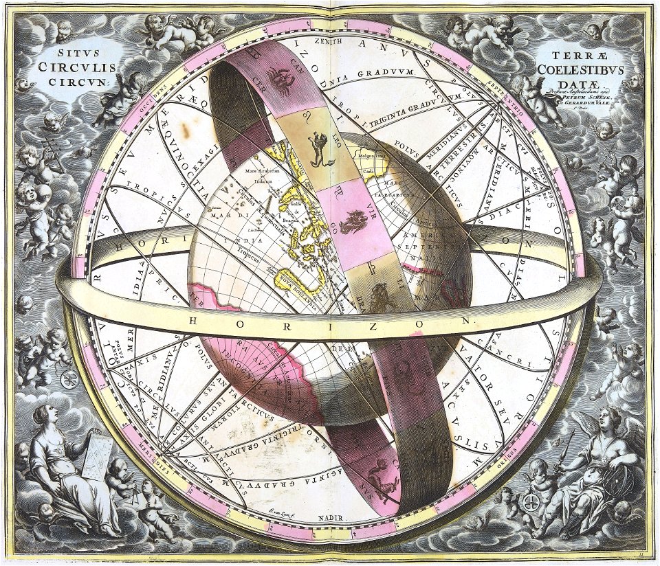
earth
gerard valck
earth
portrait paintings by élisabeth vigée-lebrun (italian royalty)
portraits of children by élisabeth vigée-lebrun
portrait paintings in the kimbell art museum
portrait paintings by louis-léopold boilly
józef oleszkiewicz
classicism
john brydon (printseller)
thomas vivares
history of pernambuco
maps with cartouches
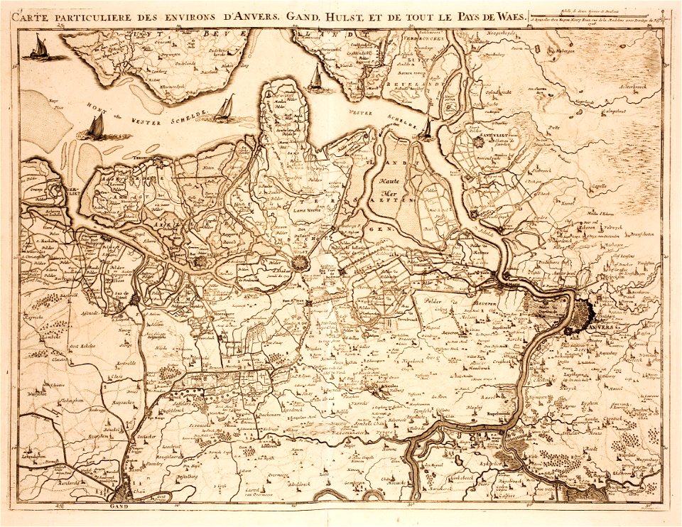
old maps of zeeland
western scheldt
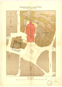
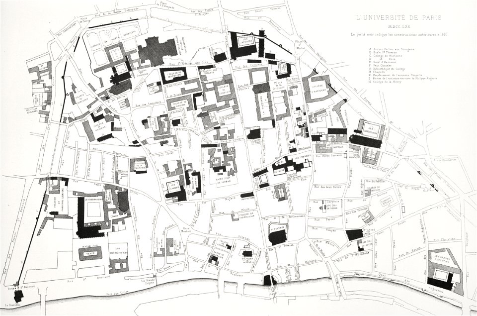
lithographs of paris
université de paris
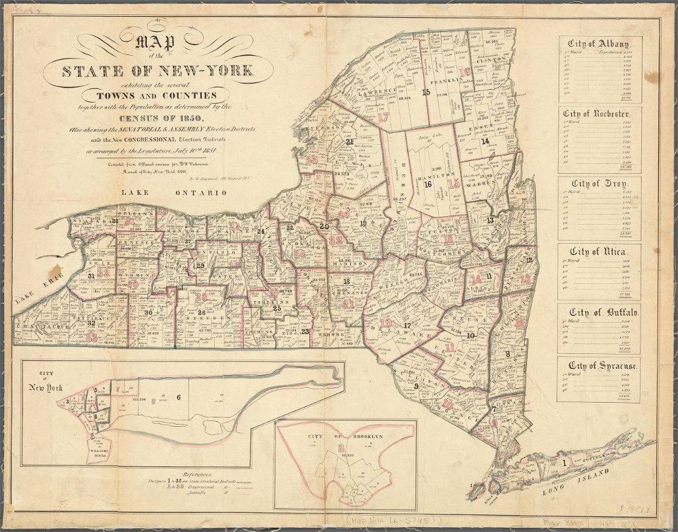
images from the new york public library
george hayward
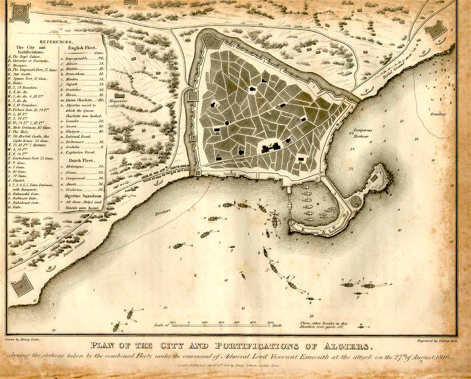
ottoman period in the history of algeria
1816 maps
maps by willem and johannes blaeu
circumvallation
gerard valck
moti
university of toronto wenceslas hollar digital collection
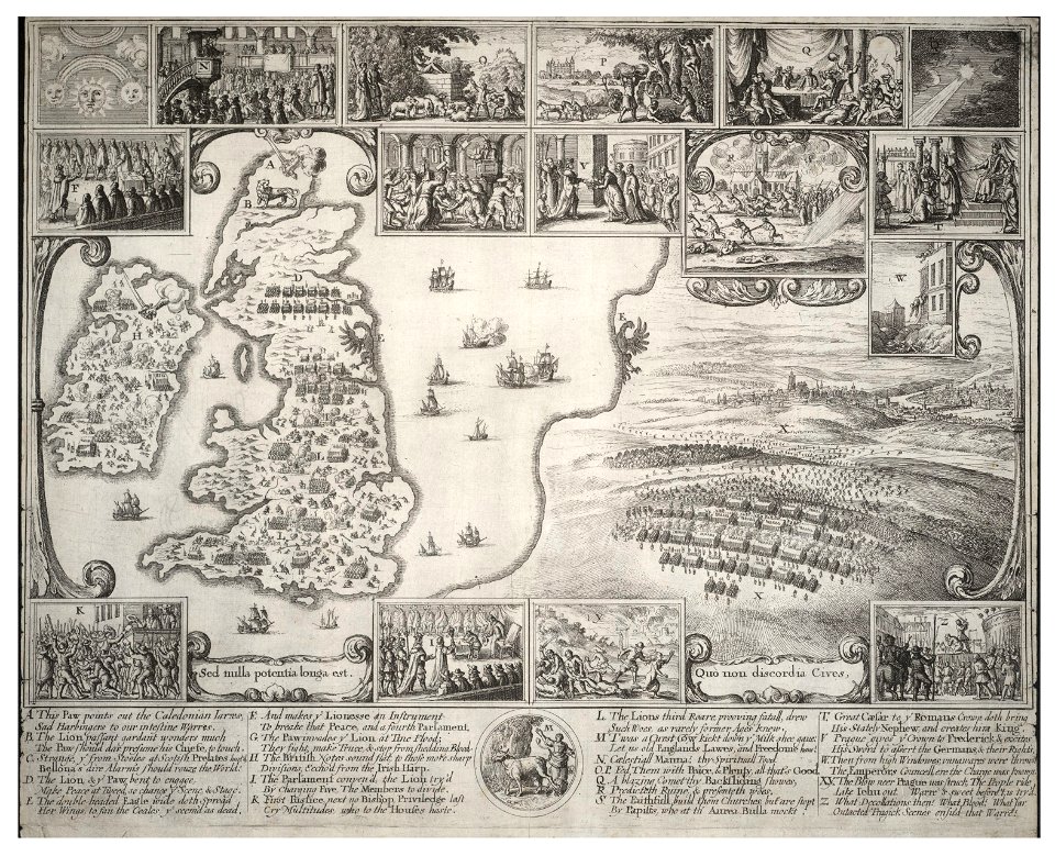
old maps of the british isles
maps of paris from paris musées
plan de jaillot (1775)
atlantis magni tomus tertius (biblioteca comunale di trento)
1690s maps of germany
geographical illustrations by coronelli
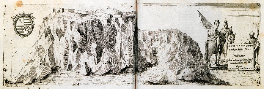
acrocorinth in art
david rumsey historical map collection
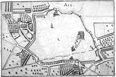
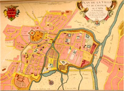
old maps of france
bibliothèque municipale de reims
rès. g 152
maps by brockhaus
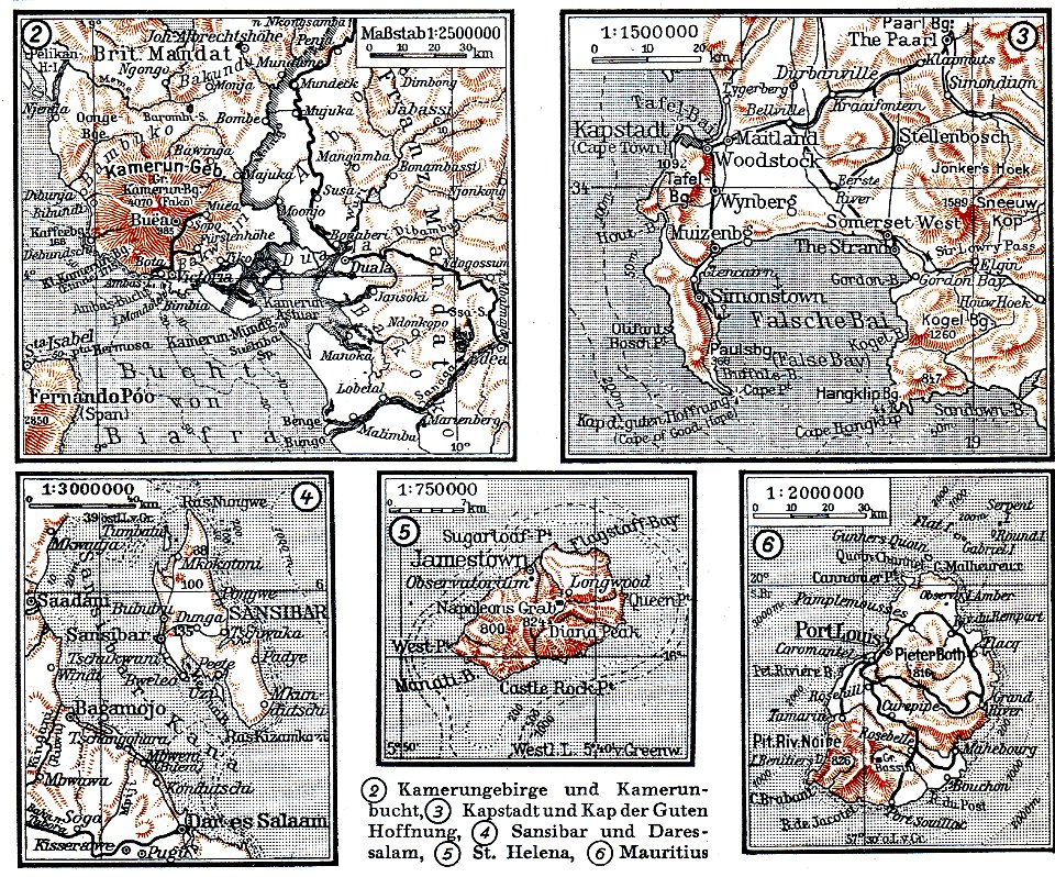
mount cameroon
bibliothèque municipale de reims
rès. g 152
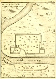
description de la chine
xiangyang
encyclopaedia universalis mundaneum
pacific
fortified farms
nicolas de fer
maps in the library of congress
ohio
maps in the library of congress
ohio
maps in the library of congress
ohio
maps in the library of congress
ohio
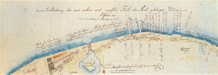
johann christoph brotze
old maps of riga
geographical illustrations by coronelli
old maps of the peloponnese
voyage dans la macédoine (1831)
old maps of macedonia
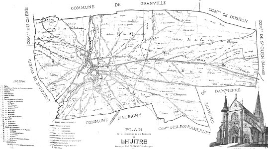
collection de la bibliothèque municipale de reims
old maps of aube
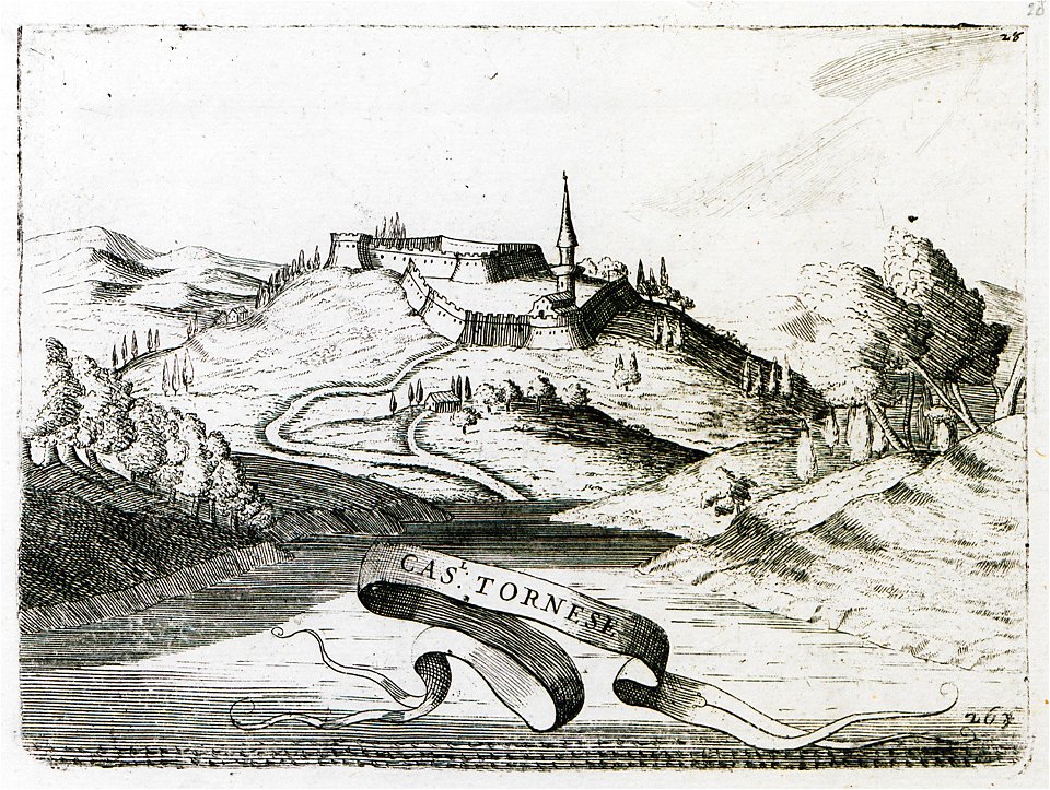
geographical illustrations by coronelli
old maps of the peloponnese
geographical illustrations by coronelli
old maps of the peloponnese
geographical illustrations by coronelli
old maps of the peloponnese
prints from pieter christiaansz bor nederlantsche oorloghen
maps of the dutch republic
old maps of chartres
battles in art
travels in various countries of europe
asia and africa
7701 - 7800 of 32,720
Next page
/ 328